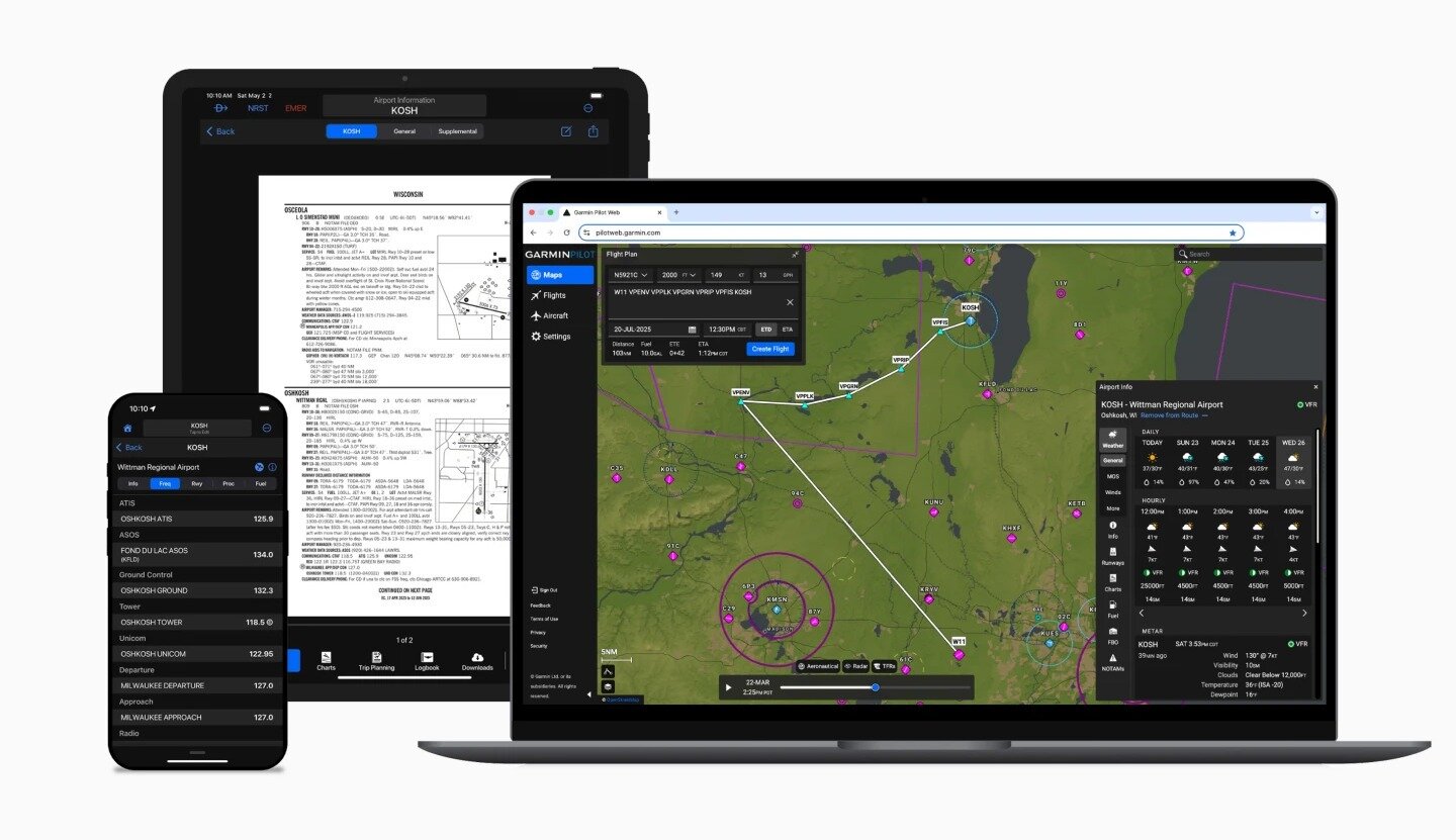
The tool, available to Garmin Pilot Premium subscribers on iOS, populates the app’s Flights page with clearance information up to 30 minutes before a scheduled departure. Pilots review the text-based data within the interface and transmit a 'WILCO' response to finalize the agreement. Once accepted, the route overlays automatically onto the app’s map and can sync with compatible avionics via Connext.
By moving these exchanges to a digital format, the system aims to reduce frequency congestion and minimize transcription errors during the critical pre-flight phase. Garmin plans to expand the service to include in-app IFR cancellation after landing, a feature designed to assist pilots at uncontrolled or closed tower airports. Currently, the system is in an operational test phase at five locations, including New Century AirCenter in Kansas and Appleton International Airport in Wisconsin. The company intends to roll out the service in phases across the United States through 2028.


Comments (0)
No comments yet. Be the first!