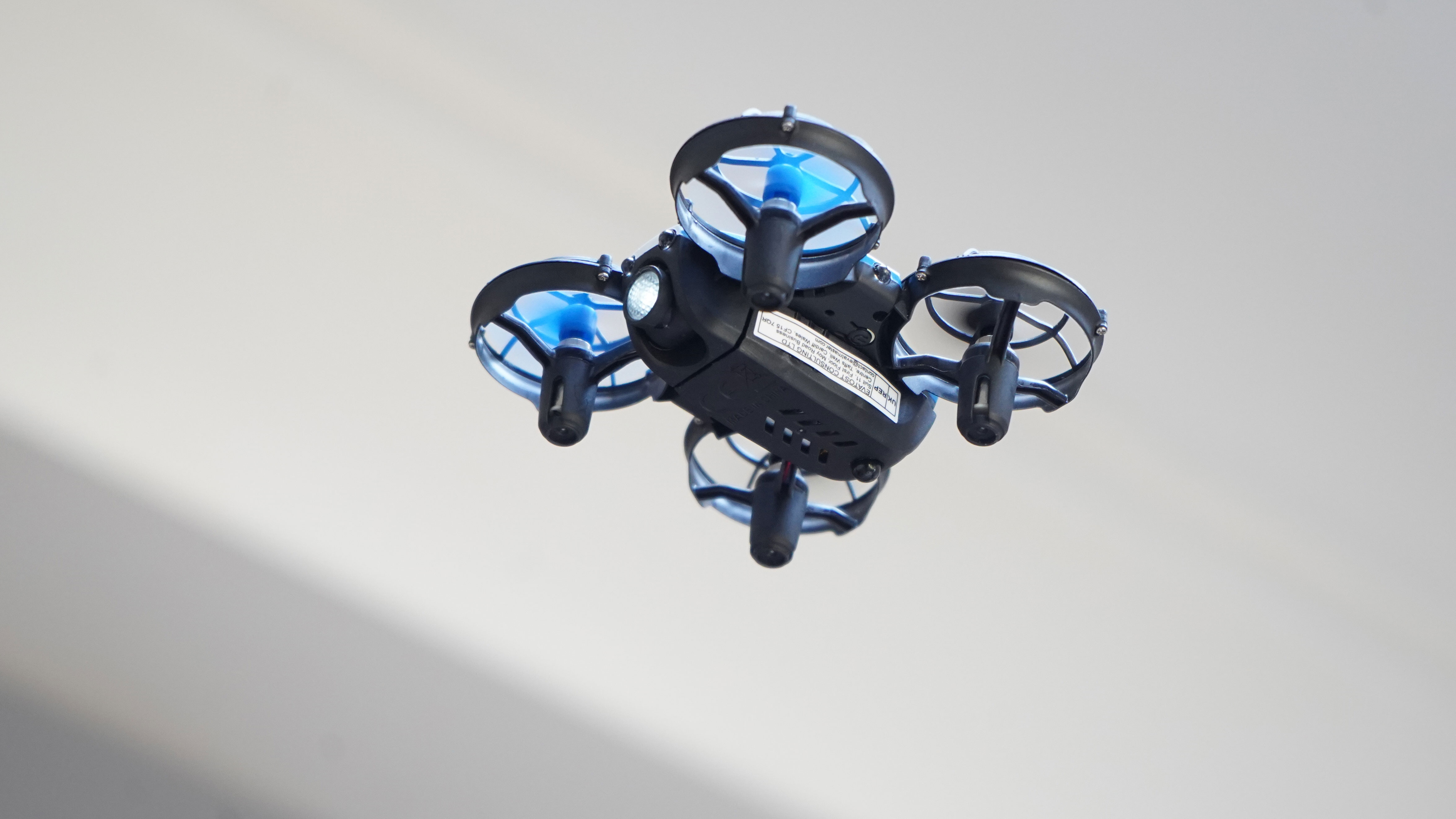
The collaboration integrates Brecourt’s iDFR™ (Indoor Drone as First Responder) platform with GeoComm’s mapping technology. Brecourt’s drones are pre-positioned on charging docks within facilities, allowing for rapid deployment via remote operators. These drones utilize computer vision and live streaming to navigate indoor spaces, while GeoComm’s software overlays this visual data onto structured indoor maps.
By unifying these systems, security teams gain actionable context, identifying not only the nature of an incident but its exact location within a structure. Mac McElvaney of GeoComm noted that this pairing bridges the gap between raw visual data and informed response. Jeff Ross, founder of Brecourt Solutions, emphasized that providing responders with high-fidelity, location-aware intelligence is critical when seconds dictate the outcome of an emergency. The system is designed to function alongside existing security workflows, extending beyond incident response to support building management, logistics, and inventory monitoring.


Comments (0)
No comments yet. Be the first!