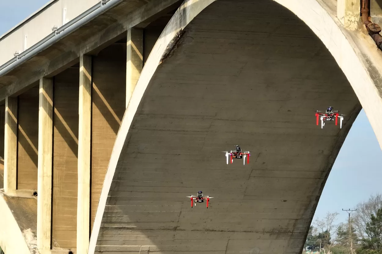
Led by Assistant Professor Hyunjun Kim, the research team created a system that aligns routine drone photographs with an initial 3D digital model of a bridge. Using hierarchical localization and satellite positioning data, the software identifies and tracks cracks, spalling, and water leakage over time, even when images are captured from varying angles or distances. The findings, published in the journal Structural Health Monitoring, demonstrate a significant shift from static, single-point assessments to continuous, predictive structural management.
Validation of the framework occurred over a 120-day period on an active prestressed concrete bridge. The AI successfully mapped damage progression throughout the study, achieving a maximum measurement error of 4.61% compared to manual inspections. While the current iteration is optimized for flat surfaces, the method drastically reduces the computational burden of long-term assessments by utilizing a single reference model. This approach offers transportation agencies a viable path toward predictive maintenance, with potential future applications for tunnels, dams, and elevated rail infrastructure.



Comments (0)
No comments yet. Be the first!